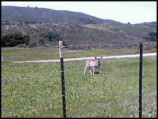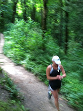
Summary: This is a rolling trail with one big long climb. There are markers every 1/2 mile. The views of the reservoirs are beautiful and you can often see deer and other wildlife. There are plenty of trees for shade and a nice dirt shoulder for the most part. The trail is very easy to follow. The climb begins at about 4.5 miles and you reach the top of the dam at mile 5. Then you continue climbing for about another mile after that. At about mile 6 you reach a parking lot (Hillcrest Drive). Cross through it and follow the dirt singletrack trail for about 1/2 mile- this is a little technical with some switchbacks, so be careful. This connects back to a paved path that follows the upper reservoir. If you go all the way to the end of the trail about mile 9 (San Bruno Ave.), there is a gas station across the street that you can go for water or snacks.
Gmap: Crystal Springs (distance comes up a little short, but it's because I couldn't capture the twisting and turning of the trail)
Related Blog Post: http://runningstories.blogspot.com/2008/04/last-long-run-and-weekend-pictures.html
Distance 17.0 miles
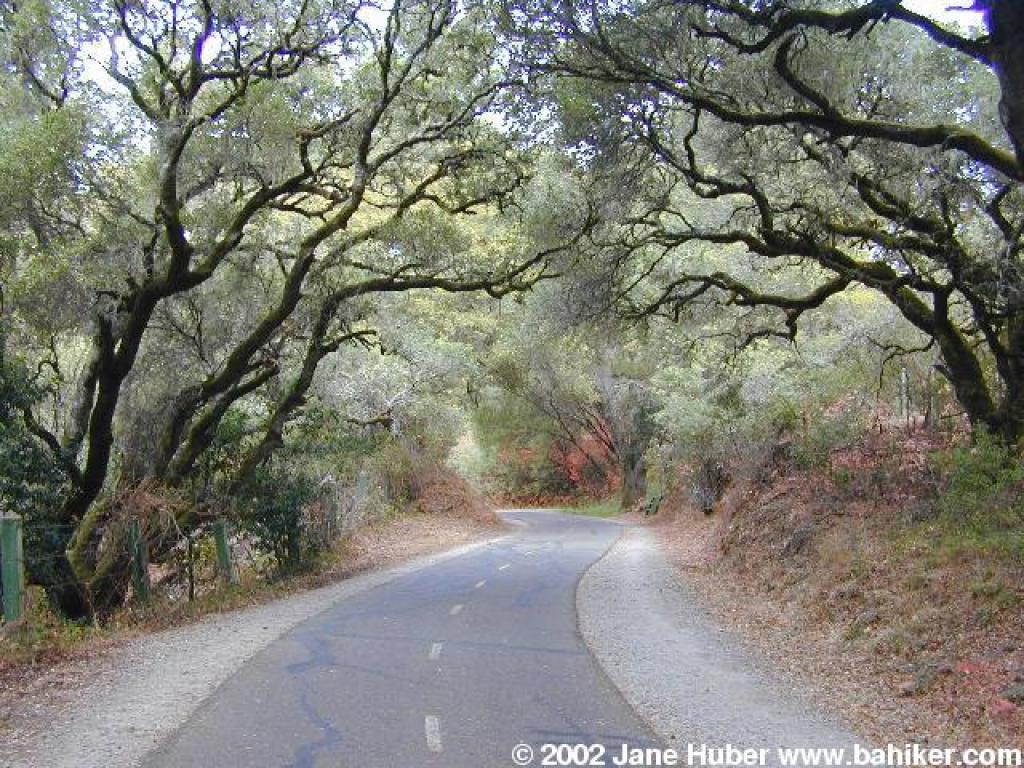
Conditions: paved bike path with dirt shoulder
Profile: generally flat to rolling with big hill from mile 4.5 to mile 7
Start/Park: Sawyer Camp Trailhead (Skyline Blvd. and Crystal Springs Road) (no fee)
Water: There is a water fountain and a outhouse at the trailhead. There is a water fountail and a porto-potty at mile 3.5. After that, there is a bathroom at the top of the dam at mile 5, but no more water. There is a gas station across the street at mile 9 where you could buy a water or snacks.